
Navigation Network
Placed at river mouths, reefs, and headlands, the lights gave captains fixed bearings when charts and weather changed by the hour.
Explore concise history, archival photography, keeper accounts, and the preserved towers that still mark the coast.
Coast Record
Along the northern coast, lighthouse towers linked weather, labor, and local memory into a shared navigation system. This introduction sets context before the keeper stories and preserved towers map.
Placed at river mouths, reefs, and headlands, the lights gave captains fixed bearings when charts and weather changed by the hour.
Keepers maintained lamps, fog signals, and logs through winter storms, making routine care as critical to safety as the tower itself.
As automation replaced crews, communities documented and restored surviving towers so their engineering and social history remain publicly legible.
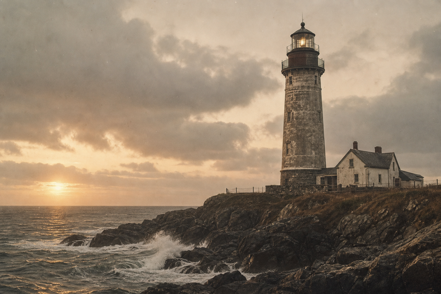
Coastline Timeline
A quick historical shape before the deeper stories: expansion, storm pressure, operational change, and the long work of preservation.
1820s–1860s
Harbor entries and cliff approaches gained coordinated lights, helping mariners read the coast as a linked navigation system rather than isolated points.
1870s–1910s
Severe weather seasons exposed weak routes, prompting stronger towers, improved fog signals, and tighter keeper routines along dangerous reaches.
1920s–1970s
Mechanized lighting and remote monitoring reduced on-site staffing, reshaping daily labor while keeping long-established maritime routes legible.
1980s–Present
Communities, historians, and volunteers now stabilize surviving towers and archive keeper records so navigation heritage remains visible and teachable.
KEEPER STORIES
Excerpts adapted from station books and family letters, preserving the routine judgment behind each light along the northern coast.
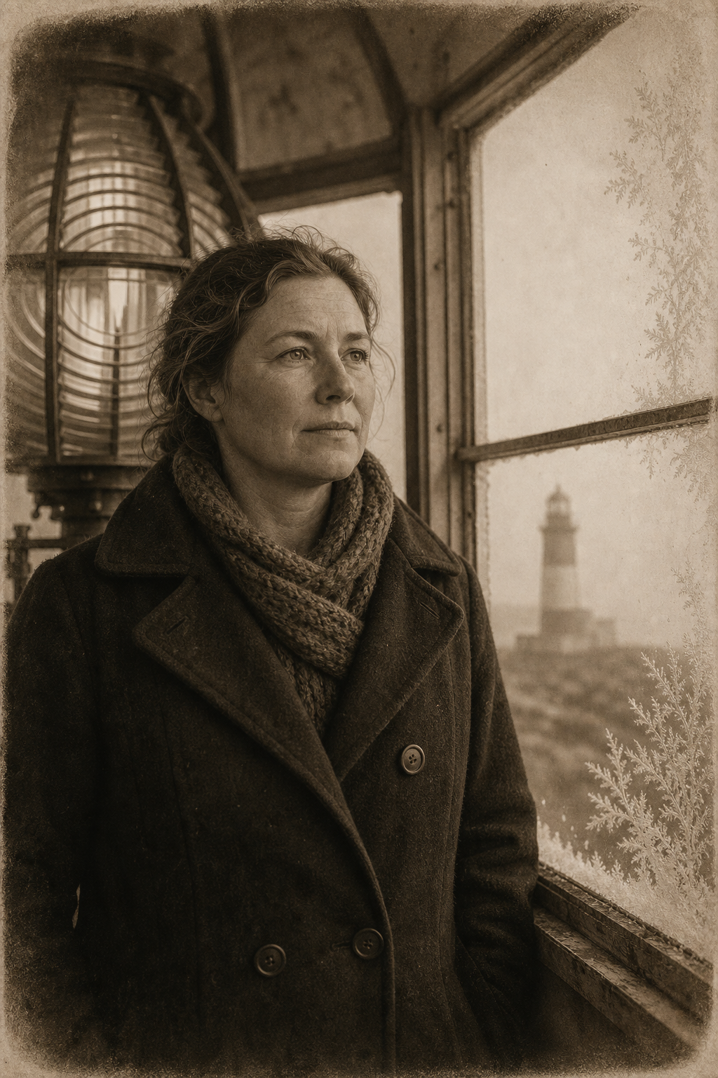
Winter station log · 1904
Assistant Keeper, Maren Ivers
By dusk, spray had frozen over the gallery rail; she wrote that each step to the lens sounded like breaking plates, and that trimming the wick became a practiced count to keep fear from quickening the hand.
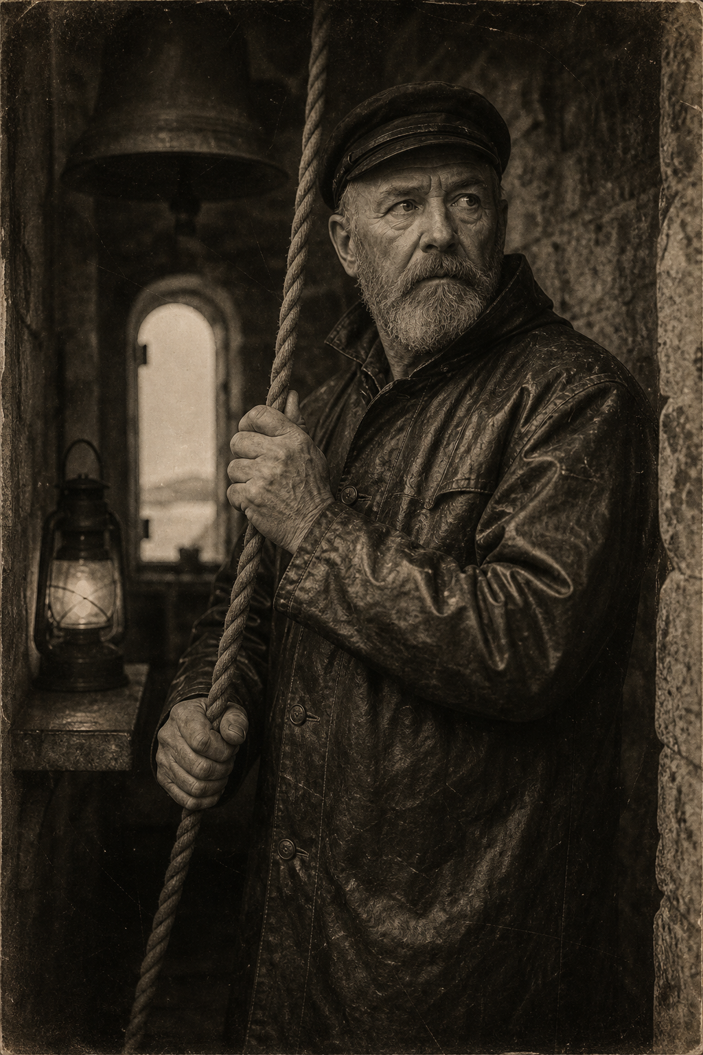
Harbor memorandum · 1919
Head Keeper, Elias Dunne
With fog standing from sea to cliff, he noted that the lamp could not carry past the breakwater; all judgment moved to the bell rhythm, struck every half minute until dawn reopened the channel.
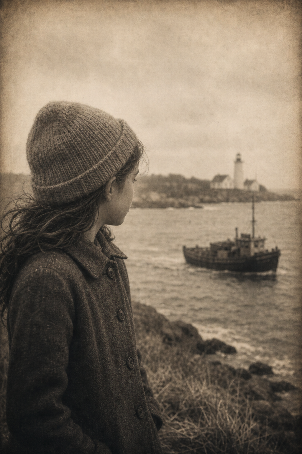
Family letter · 1932
Keeper's Daughter, Rosa Kade
She recalled learning weather by the delay in supplies: if the boat missed two tides, bread was rationed, lamp oil checked twice, and every window watched for a mast at first clear light.
Archive portfolio
A quieter visual interval: objects, surfaces, and working light preserved in warm film tones before the shoreline map comes into focus.
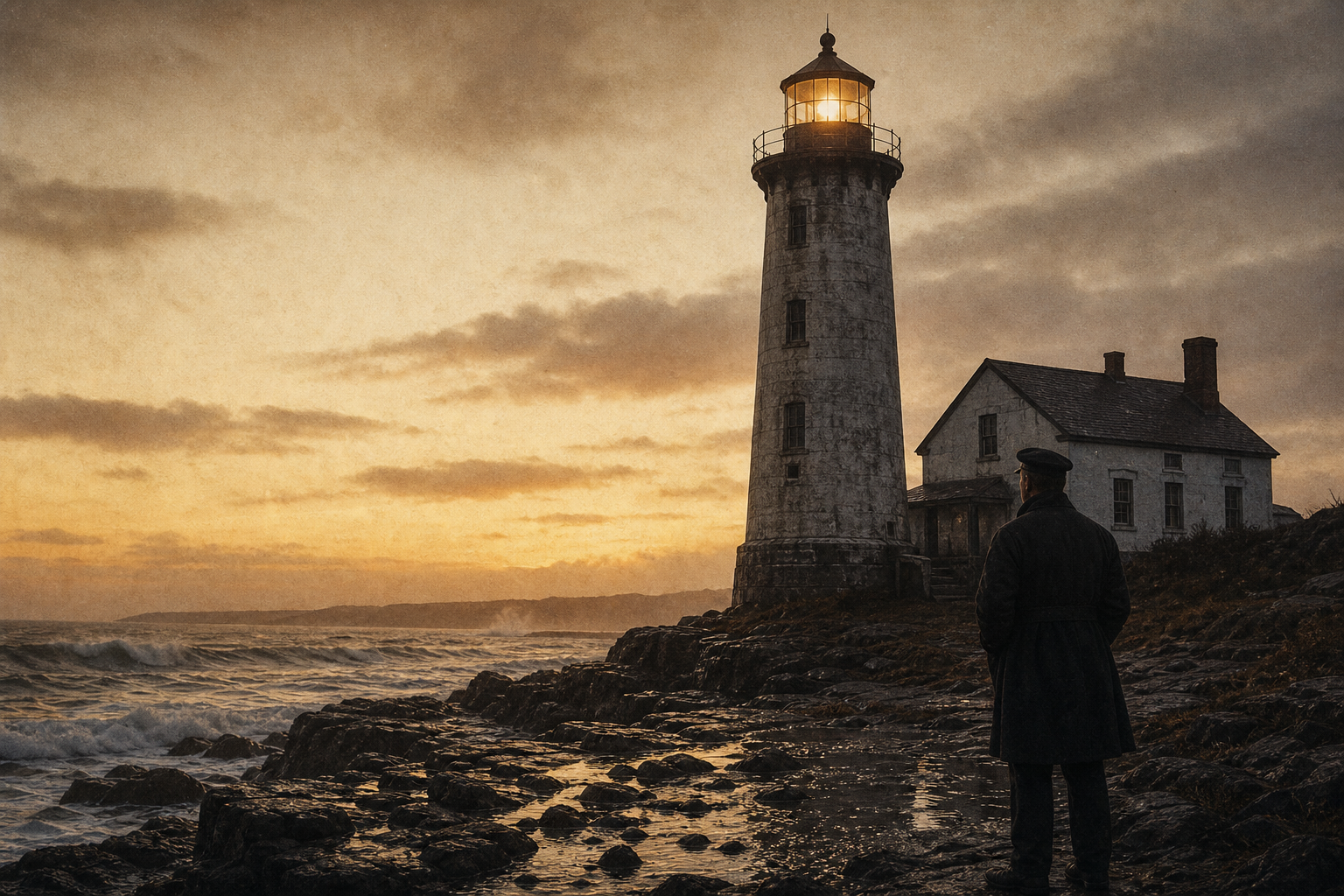
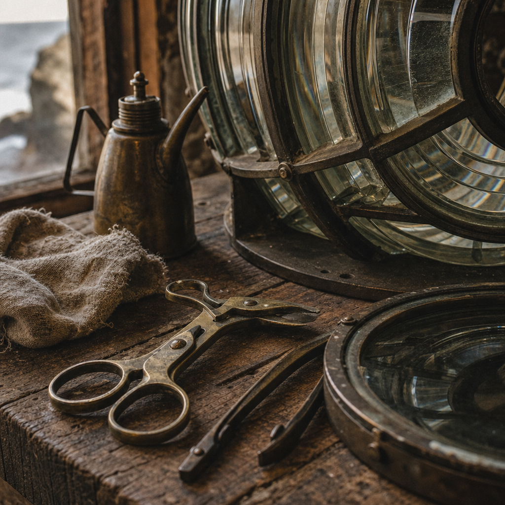
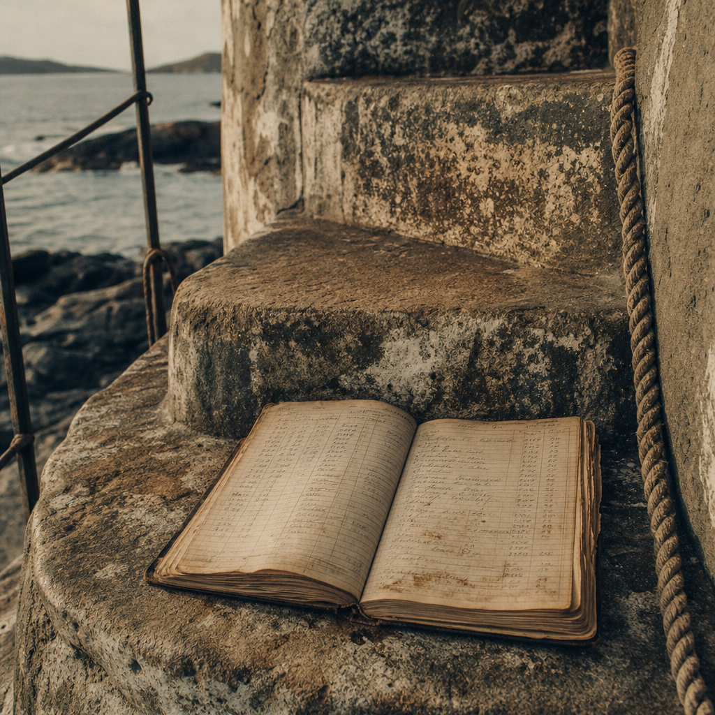
Caption 01
Lens bloom around the lantern room often appears in late-shift negatives, where sea mist softened every edge but kept the tower line precise.
Caption 02
Brass keys, wick shears, and penciled watch logs record routine labor that kept navigation beacons dependable through winter tides.
Geographic Orientation
A stylized reference map connecting archival accounts to the surviving lighthouse sites, with concise preservation notes for quick reading.
A few practical pointers for planning coastal visits while protecting the towers, paths, and local communities that care for them.